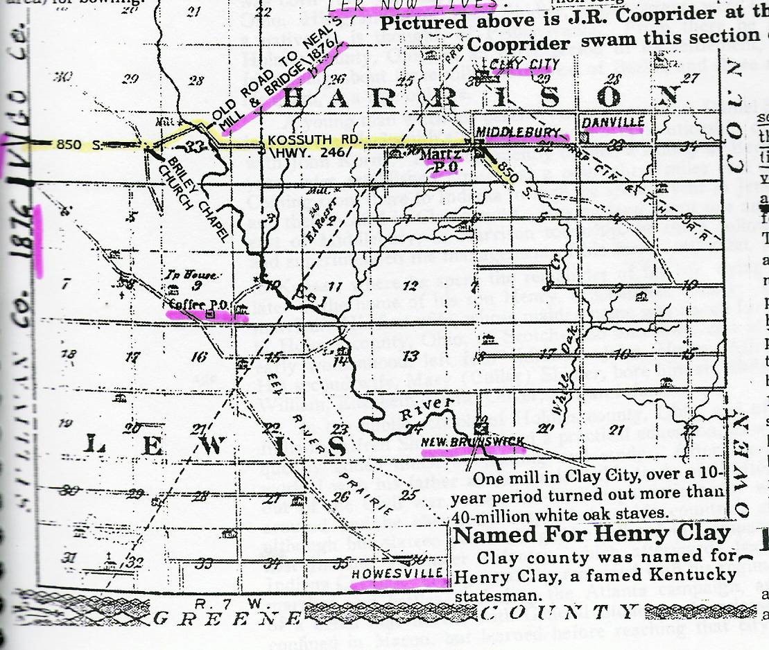
Town of Kussuth in Lewis Township
In 1850 J. M. H. Allison platted a town named Kossuth on a bluff a short distance south of Neal’s Mill, at a point directly west of Middlebury in southern Clay County.
Founding Kossuth on the southwest bank of the Eel River made necessary the opening of a road to Middlebury as an outlet to the east. In the year of 1852 this road was cut from the hillside west of Middlebury (now known as Martz) to the Eel River. The district road hands were called out to perform the work; however, they were not in any pleasant mood over the task. As a result, it was agreed among them that they would have a race by dividing into two parties to cut the road across the river bottom lands. The supervisor laid out the ground by running a middle line the length of the road (about three miles) and assigned the parties to their respective places. The timber was to be cut so that it fell inward from both sides. The two parties of axmen began the slaughter of the towering forest and completed the work within three days. It was not recorded which party won the race; however, the Kossuth Road is now a part of Indiana Highway 246.
To an observer standing on the Middlebury Hill, looking westward along the line of fallen timber, it appeared as if a tornado had mowed a swath through the dense forest, felling trees as it went. Those who planned the town of Kossuth wanted a bridge to be built to cross the river at the point of the town plat, which was then known as Hooker’s Point. Prior to the building of the first Kossuth Road bridge a ferry was located at that point.
In 1876 the Hooker’s Point Bridge on the Kossuth Road was constructed by William Graber and Levi Fair, at a cost of $6,300. This bridge was destroyed by the cyclone of May 28, 1883; it was rebuilt during the latter part of 1883 and the first of 1884. Muehler & Notter were contractors of the stonework at $600. The Canton, Ohio, Bridge Company were contractors on the iron work, at $5,120.
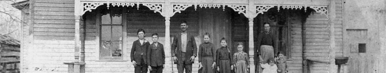
Kossuth Road ran through Middlebury, where it was named Jackson Street. Middlebury stands upon what is known as “Sand Hill,” which is a mound of several hundred acres of sand of irregular outline. Prior to the building of the macadamized roads, the town could not be approached from any point of the compass without a heavy pull through deep sand.
Within a mile and a half of the town of Middlebury was a swale, or pond, covering the public road surface and a limited area two feet or deeper alongside the road. The water surface bordering the roadway on the south side had been a skating-rink in winter and a froggery in summer. To make the road passable at this point, it was cross laid with heavy timber, including fine poplar logs of two feet or more in diameter. On this was placed a surface of brush and dirt, on which was built the grade of the Kossuth improved stone road around 1897.
Sources: Blanchard’s 1884 History of Clay County, Indiana, and Travis’ 1909 A History of Clay County, Indiana